Now That The Cold Is Here, It Won’t Let Up! Winter Weather Advisory For Bismarck
Bismarck and the surrounding counties can't get a break! Since the Arctic front passed through the area last week, it seems like it has a grip and won't let loose.
The National Weather Service in Bismarck has issued a Winter Weather Advisory for the entire listening area taking effect Sunday (11/16) at 12 PM until 6 AM Monday. (11/17)
According to the NWS, the entire area can expect gusty winds up to 45 MPH Sunday. These conditions will cause blowing snow and drifts which can impact travel through the area Sunday into Monday. Visibility can be reduced to a half mile or less.
A winter weather advisory for blowing snow means that the wind will cause reduced visibilities in blowing snow. Use extra caution when traveling and avoid the use of cruise control.
A WIND ADVISORY is in effect for the area from 12PM until 9 PM Sunday (11/16) with gusts up to 45 MPH.
Temperatures will remain frigid with highs Sunday and Monday in the upper teens and over night lows in the single digits to the minus range. Take the necessary precautions and double check your winter survival kit in your automobile.
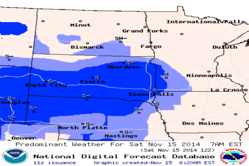
There is a slight chance of snow Sunday with a better chance of snow to the South of Bismarck-Mandan. The major impact will be in South Dakota with a better chance of accumulation.
Make sure your animals and pets have adequate protection from the elements.
More From US 103-3